Earth science
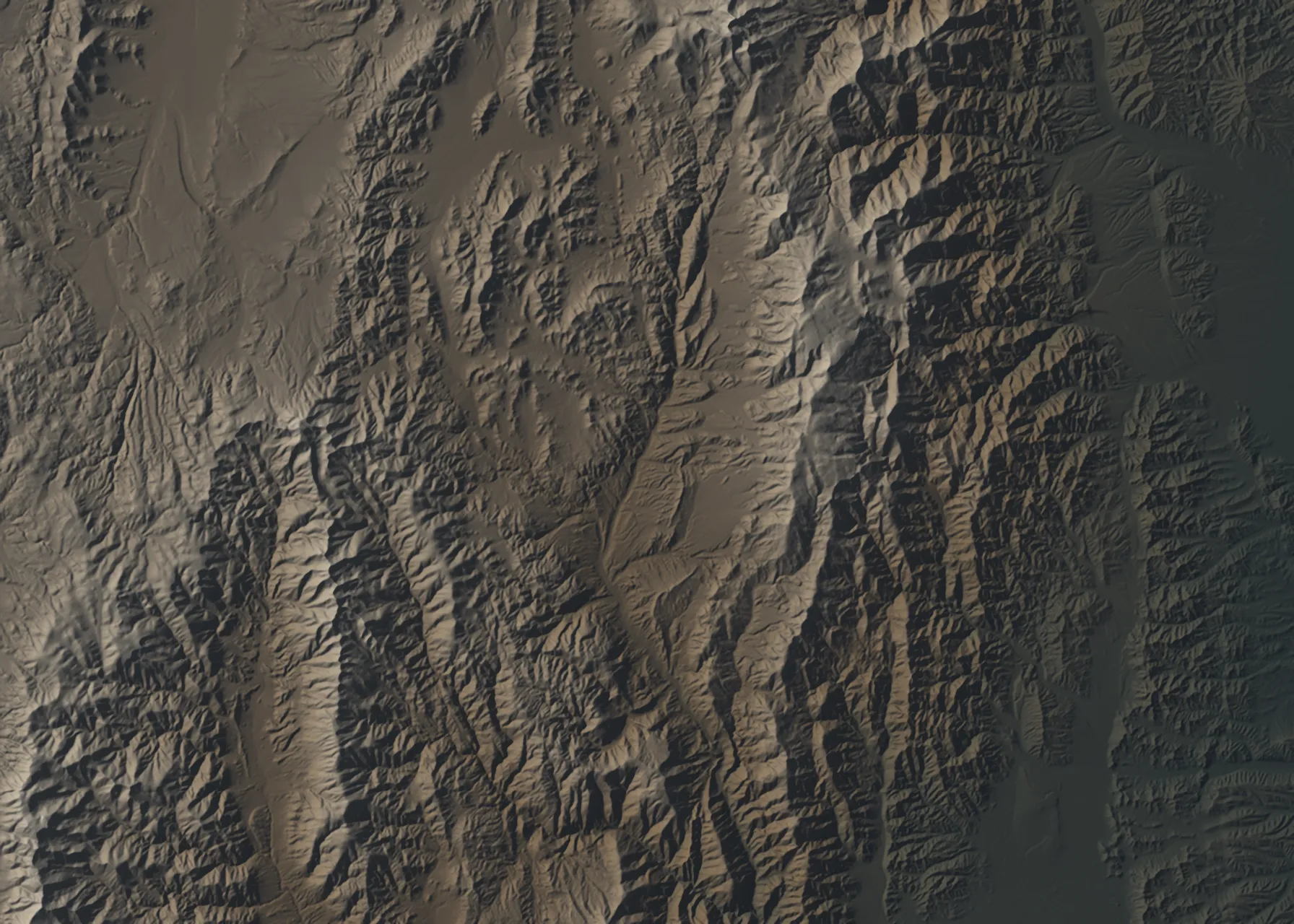
Remote sensing and geomorphology: digital elevation models from satellite stereo and radar, river grain sizes from photo surveys, and the fieldwork to check them.
The poles of the earth have wandered. The equator has apparently moved. The continents, perched on their plates, are thought to have been carried so very far and to be going in so many directions that it seems an act of almost pure hubris to assert that some landmark of our world is fixed at 73 degrees 57 minutes and 53 seconds west longitude and 40 degrees 51 minutes and 14 seconds north latitude—a temporary description, at any rate, as if for a boat on the sea.
Earth Scientist | Developer | Teacher
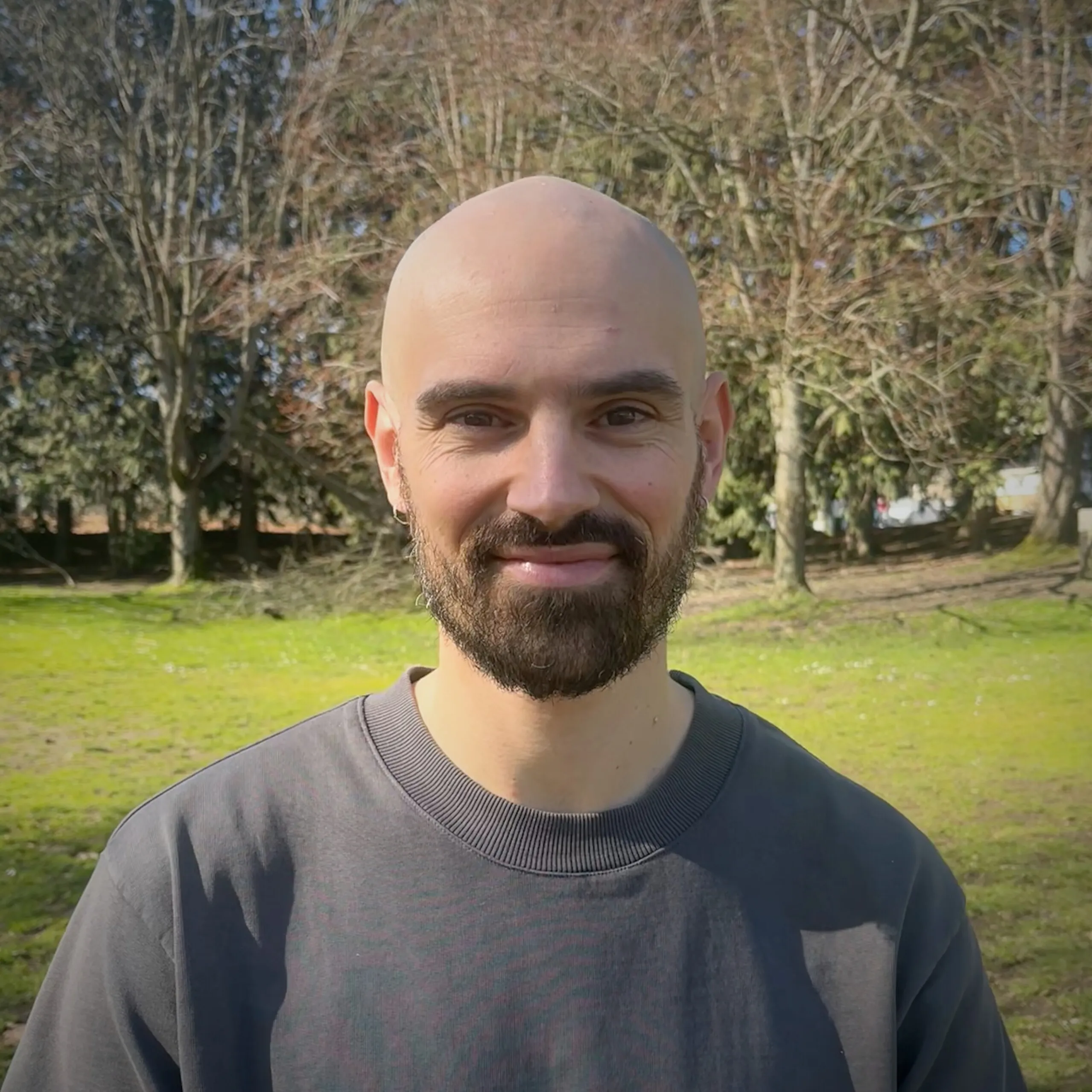
Ahoy! I'm Ben. I use satellites, drones, handheld cameras, geodetic measurements, and a lot of code to investigate the driving forces and resulting shape of the Earth's surface. I also write software and teach web dev.
My background is in geology, including field observations and mapping, but I specialized in remote sensing and geomorphology. These days I build and validate elevation models from satellite stereo imagery as a research scientist in the TACO Lab at the University of Washington in Seattle, where I live just down the road on a houseboat. ⚓️ 👨🏻✈️
I have my feet in a few worlds. Aside from my science job, I also work for First Draft, where I write code for our learning platform, and teach web application development to beginner programmers at the University of Chicago.
Before Seattle I did my PhD and a postdoc in the Remote Sensing and Earth Surface Processes group at the University of Potsdam, Germany, working mostly in the Andes of northwestern Argentina. (I also spent a few years in sub-arctic Nome, Alaska along the way to Seattle.)
You can check out my GitHub for code snippets and inspiration. I enjoy science communication and get my fix via Instagram.
Remote sensing and geomorphology: digital elevation models from satellite stereo and radar, river grain sizes from photo surveys, and the fieldwork to check them.
Open-source Python for geoscience, like asp-plot and PebbleCounts, and full-stack Ruby on Rails for the web.
Inclusive learning experiences for beginner programmers, at First Draft and in the App Dev course at UChicago Booth. Before that: remote sensing, GIS, and Python at Potsdam.